Route details
Description
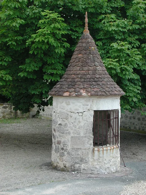
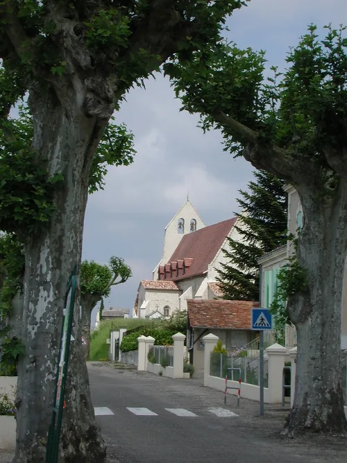
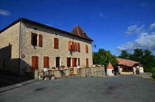
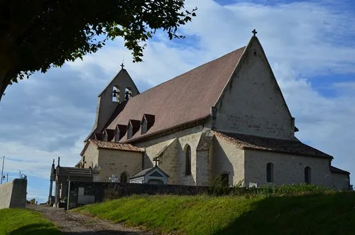
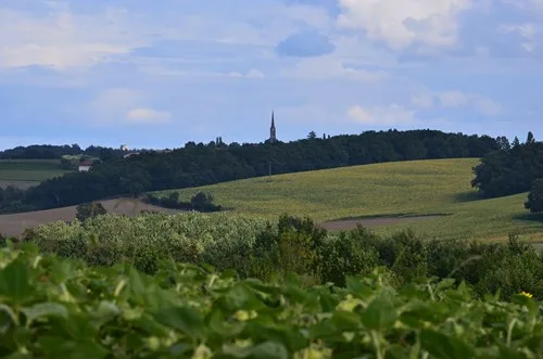
From one stream to another, a bucolic walk through the traditional landscapes of the Marmandais hillsides, between vineyards, woods and meadows. Discover along the way the small town of Mauvezin and its church which, from the top of the promontory, dominates the Gupie valley. The history of this building is closely linked to that of the seigneurial castle, a 1930th century fortress demolished in the XNUMXs, of which practically no trace remains.
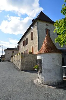
The origin of the name Mauvezin comes from the Latin malus vicinus which means “bad neighbor”. We can assume that such a name is linked to the location of the castle, built on a promontory which could inspire a formidable “fright”. He was a bad neighbor for the lord's vassals, but also for the travelers he ransomed and for the peasants subject to the feudal system.
The origin of the name Mauvezin comes from the Latin malus vicinus which means “bad neighbor”. We can assume that such a name is linked to the location of the castle, built on a promontory which could inspire a formidable “fright”. He was a bad neighbor for the lord's vassals, but also for the travelers he ransomed and for the peasants subject to the feudal system.